TauDEM
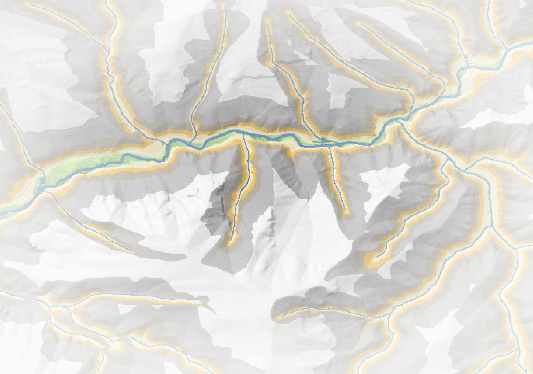
The Terrain Analysis Using Digital Elevation Models (TauDEM) toolset generates key terrain and hydrologic derivatives from a digital elevation model (DEM) and channel network. It provides essential inputs for other Riverscapes tools or can be used as a product of its own.
The Riverscapes compliant, production-grade TauDEM package utilizes select algorithms from the original TauDEM suite developed by David Tarboton at Utah State University's Hydrology Research Group and packages inputs and outputs into a Riverscapes project.
Riverscapes TauDEM projects input a DEM and channel to produce the following outputs:
- Pit-filled DEM
- D-infinity flow direction raster
- D-infinity contributing area raster
- Topographic Wetness Index (TWI)
- Height Above Nearest Drainage (HAND) raster
- D-infinity slope raster (percent)
- Additionally, produces a D-8 slope raster (degrees) using GDAL.
Resources
Download TauDEM Projects
Discover TauDEM model run projects available in the Riverscapes Data Exchange.
Latest Version Change Log
Release notes tracking changes, bug fixes and issues.

Source Code
TauDEM is open source under the GNU general public license. The code is available on GitHub.