Channel Area
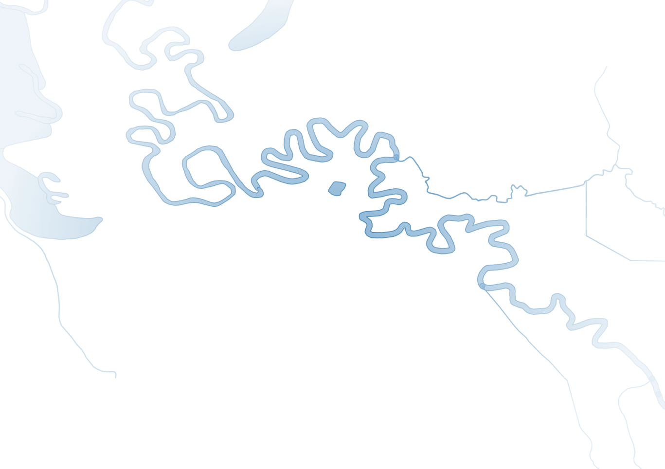
The Channel Area Tool generates polygons representing the spatial extent of a watersheds drainage network, providing a more realistic depiction of stream and river channels than simple line networks do.
Many geospatial tools use a simple line network to represent streams, which can misrepresent channel width and scale. A single line might describe both a small, first-order stream and a large river, creating problems for analyses that depend on spatial accuracy, like assessing streamside vegetation. The Channel Area Tool solves this by producing polygons that approximate true active channel area.
This tool uses a simple algorithm for combining polygons representing channels with polygons derived from attributes on a drainage network (line). Where a drainage network includes an attribute recording upstream contributing drainage area for each segment, regional relationships between drainage area and channel width can be applied to buffer channel segments. These buffered segments are then merged with other available polygons to create a first-order approximation of the active channel area.
This tools primary purpose is to produce outputs to be used as inputs in other Riverscapes tools.
As channels are active and constantly moving through time, greater accuracy can be achieved with more recent, high-resolution datasets or user input (e.g., editing channel positions or channel polygons).
Resources
Download Channel Area Projects
Discover Channel Area model run projects available in the Riverscapes Data Exchange.
Latest Version Change Log
Release notes tracking changes, bug fixes and issues.

Source Code
Channel Area is open source under the GNU general public license. The code is available on GitHub.