Anthropogenic Context
Overview
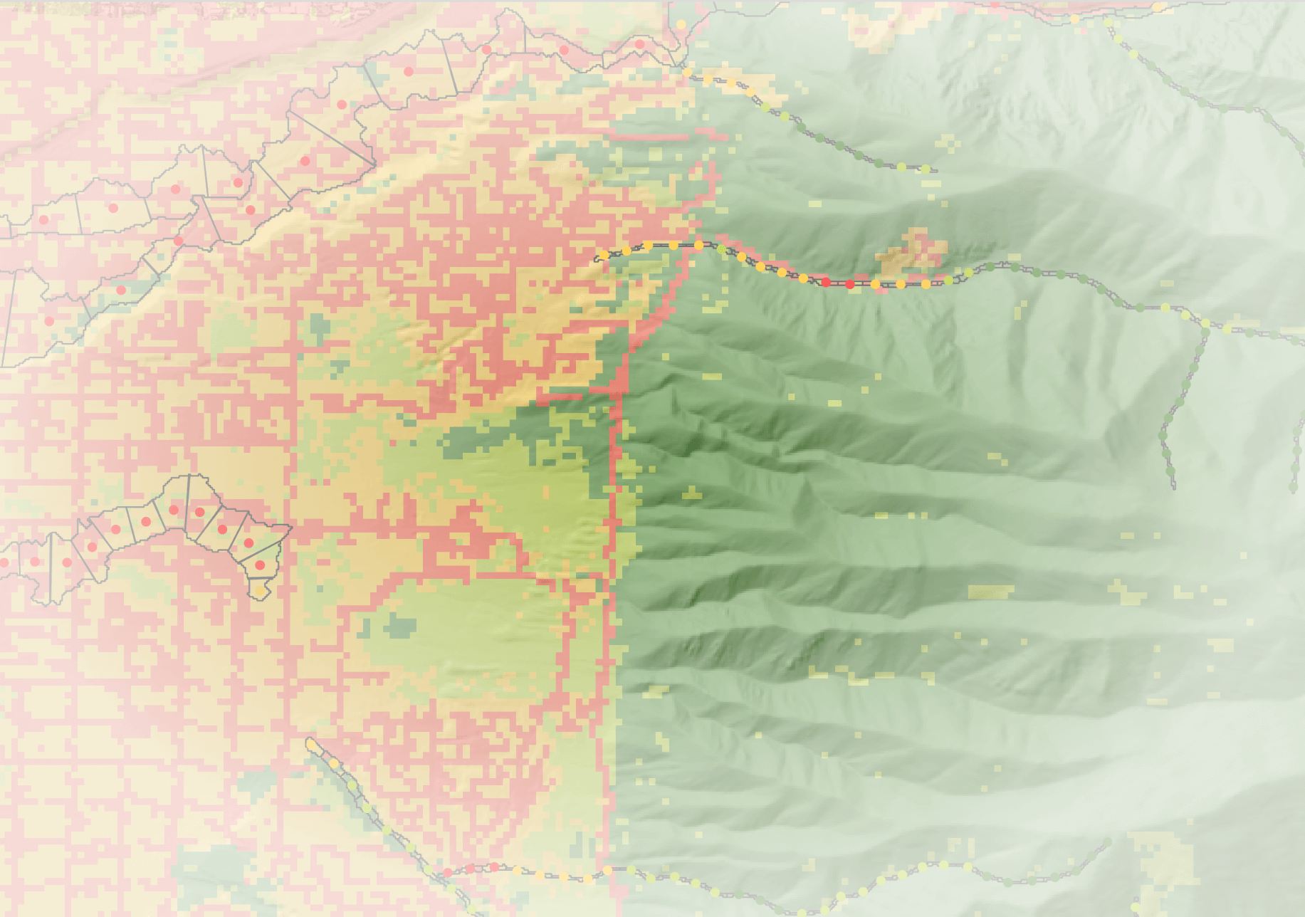
The Anthropogenic Context tool combines geospatial datasets of anthropogenic features (roads, railroads, canals) and land cover classification with hydrography and the riverscape extent (valley bottom) to provide a comprehensive view of the potential human impacts on riverscapes. The tool is designed to help researchers and resource managers understand the potential constraints as well as opportunities for restoration and conservation by identifying areas where human infrastructure may be impacting aquatic and riparian ecosystems. The tool is also designed to help identify areas where restoration and conservation efforts may be most effective by identifying areas where human infrastructure is not present or is less intense. The outputs of this tool also feed into the BRAT and RCAT models.
Output Attributes
Channel Network Outputs (vwReaches)
ReachID
: Unique identifier for each reachFCode
: NHD FCode for each reachReachCode
: A unique identifier for each reach from the NHD attributesNDHPlusID
: Unique identifier for each reach in the NHDPlus datasetStreamName
: The name of the streamlevel_path
: A unique identifier for each individual stream from the NHD attributesTotDASqKm
: Total drainage area in square kilometers from NHD attributesDivDASqMi
: Total drainage area in square kilometers partitioned among diversions, side channels, etc. from NHD attributesWatershedID
: Unique identifier for each watershed (the hydrologic unit code) from the NHD attributesownership
: Dominant ownership of the reach (e.g. private, public, tribal)divergence
: An integer code from NHD attributes indicating channel divergence and type of divergencestream_order
: Strahler stream stream order from NHD attributesus_state
: The state in which the reach is locatedecoregion_iii
: Level III ecoregion from the EPAecoregion_iv
: Level IV ecoregion from the EPAiPC_Road
: The distance (m) from the reach to the nearest roadiPC_RoadX
: The distance (m) from the reach to the nearest road crossingiPC_RoadVB
: The distance (m) from the reach to the nearest road within the valley bottomiPC_Rail
: The distance (m) from the reach to the nearest railroadiPC_RailVB
: The distance (m) from the reach to the nearest railroad within the valley bottomiPC_DivPts
: The distance (m) from the reach to the nearest diversion pointiPC_Privat
: The distance (m) from the reach to the nearest private landiPC_Canal
: The distance (m) from the reach to the nearest canaliPC_LU
: The land use intensity within the valley bottom adjacent to the reach ranging from 0 (natural land cover) to 100 (urban land cover)iPC_VLowLU
: The percent of the adjacent valley bottom that is classified as very low intensity land useiPC_LowLU
: The percent of the adjacent valley bottom that is classified as low intensity land useiPC_ModLU
: The percent of the adjacent valley bottom that is classified as moderate intensity land useiPC_HighLU
: The percent of the adjacent valley bottom that is classified as high intensity land useoPC_Dist
: The distance (m) from the reach to the nearest infrastructure (road, railroad, canal, diversion or crossing)
Riverscape Network Outputs (vwDgos/vwIgos)
IGODID/DGOID
: Unique identifier for each riverscape polygon or pointFCode
: NHD FCode for each riverscape polygon or pointlevel_path
: A unique identifier for each individual stream from the NHD attributes associated with the riverscape polygon or pointseg_distance
: A distance along a given level_path. In combination with level_path, this provides a unique identifier for each riverscape polygon or pointstream_size
: A categorical classification of stream size from 0 (small, headwater streams) to 4 (large continental rivers)centerline_length
: (DGOs) The length of the centerline (m) of the riverscape polygon (riverscape network length)LUI
: The land use intensity averaged across the DGO or moving window, ranging from 0 (natural land cover) to 100 (urban land cover)Road_len
: The length of road within the riverscape DGO or moving windowRoad_dens
: The density of roads within the riverscape DGO or moving window, calculated as road length divided by the centerline length (length of roads per length of riverscape; m/m) -Rail_len
: The length of railroads within the riverscape DGO or moving windowRail_dens
: The density of railroads within the riverscape DGO or moving window, calculated as railroad length divided by the centerline length (length of railroads per length of riverscape; m/m)Canal_len
: The length of canals within the riverscape DGO or moving windowCanal_dens
: The density of canals within the riverscape DGO or moving window, calculated as canal length divided by the centerline length (length of canals per length of riverscape; m/m)RoadX_ct
: The number of road crossings within the riverscape DGO or moving windowRoadX_dens
: The density of road crossings within the riverscape DGO or moving window, calculated as the number of road crossings divided by the centerline length (number of road crossings per length of riverscape; number/m)DivPts_ct
: The number of diversion points within the riverscape DGO or moving windowDivPts_dens
: The density of diversion points within the riverscape DGO or moving window, calculated as the number of diversion points divided by the centerline length (number of diversion points per length of riverscape; number/m)Road_prim_len
: The length of primary roads within the riverscape DGO or moving windowRoad_prim_dens
: The density of primary roads within the riverscape DGO or moving window, calculated as the length of primary roads divided by the centerline length (length of primary roads per length of riverscape; m/m)Road_sec_len
: The length of secondary roads within the riverscape DGO or moving windowRoad_sec_dens
: The density of secondary roads within the riverscape DGO or moving window, calculated as the length of secondary roads divided by the centerline length (length of secondary roads per length of riverscape; m/m)Road_4wd_len
: The length of primitive 4wd roads within the riverscape DGO or moving windowRoad_4wd_dens
: The density of primitive 4wd roads within the riverscape DGO or moving window, calculated as the length of primitive 4wd roads divided by the centerline length (length of primitive 4wd roads per length of riverscape; m/m)