Riparian Condition Assessment Tool (RCAT)
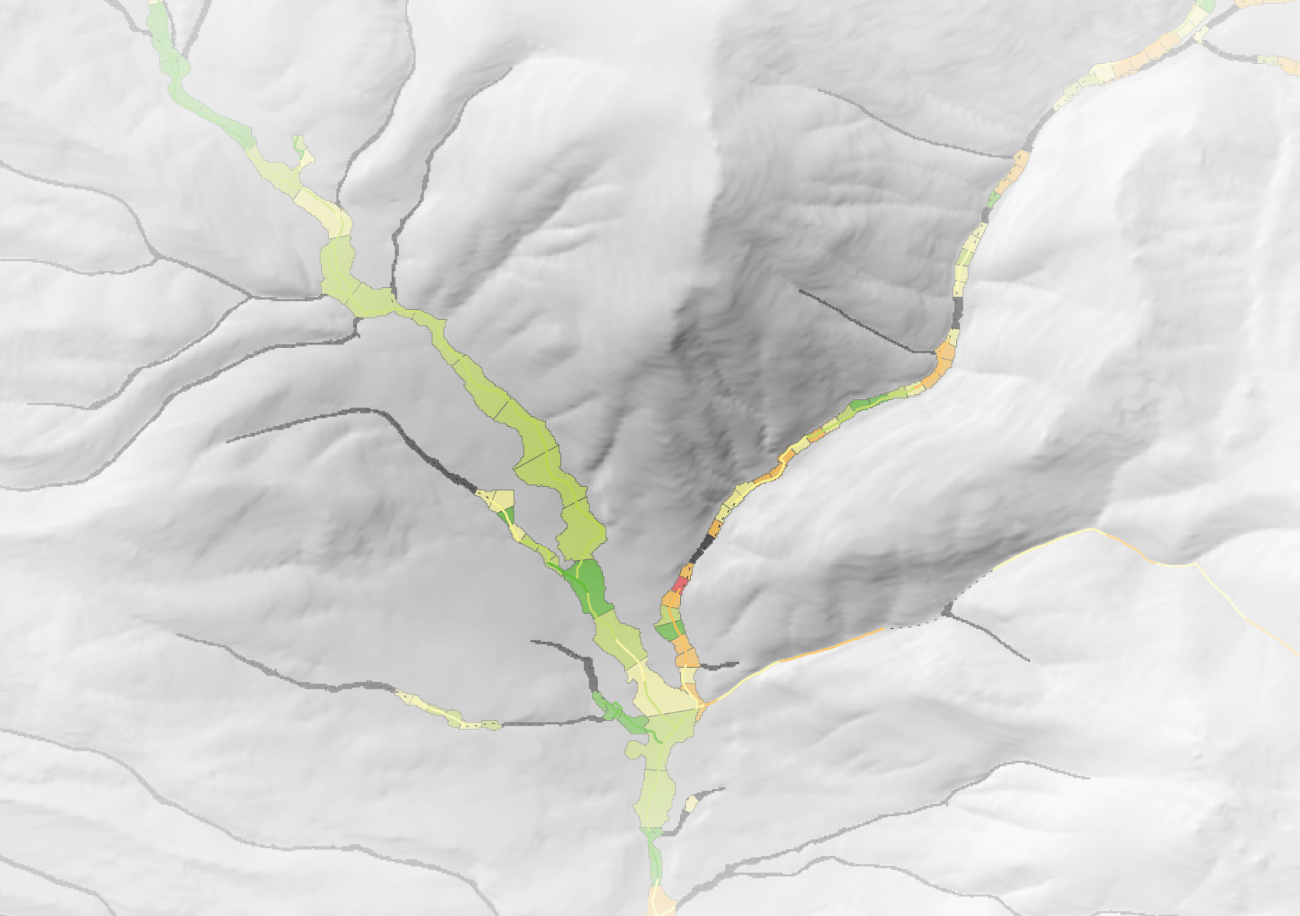
The Riparian Condition Assessment Tool provides an estimate of overall riparian condition based on three lines of evidence:
- land use intensity within the riverscape (calculated in the Anthropogenic Context Tool),
- riparian vegetation departure from historic conditions, and
- floodplain accessibility. These three inputs are combined in a fuzzy inference system to produce a single output index value from 0 (very poor condition) to 1 (in-tact condition).
Resources
Download RCAT Projects
Discover RCAT model run projects available in the Riverscapes Data Exchange.
Latest Version Change Log
Release notes tracking changes, bug fixes and issues.

Source Code
RCAT is open source under the GNU general public license. The code is available on GitHub.